Free Blank Map of the United States
Download a free blank map of the United States with all 50 states. Seven printable map styles in PDF, JPG, PNG, and WEBP. No signup, no email.
Pick a map style and format, then download your free and printable blank United States map
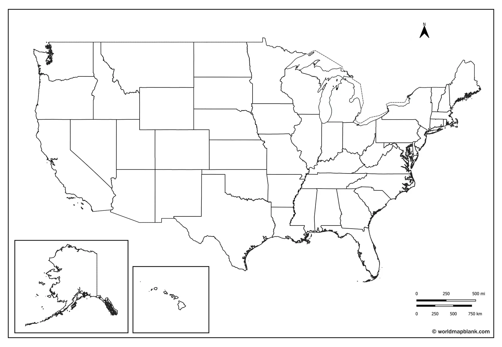
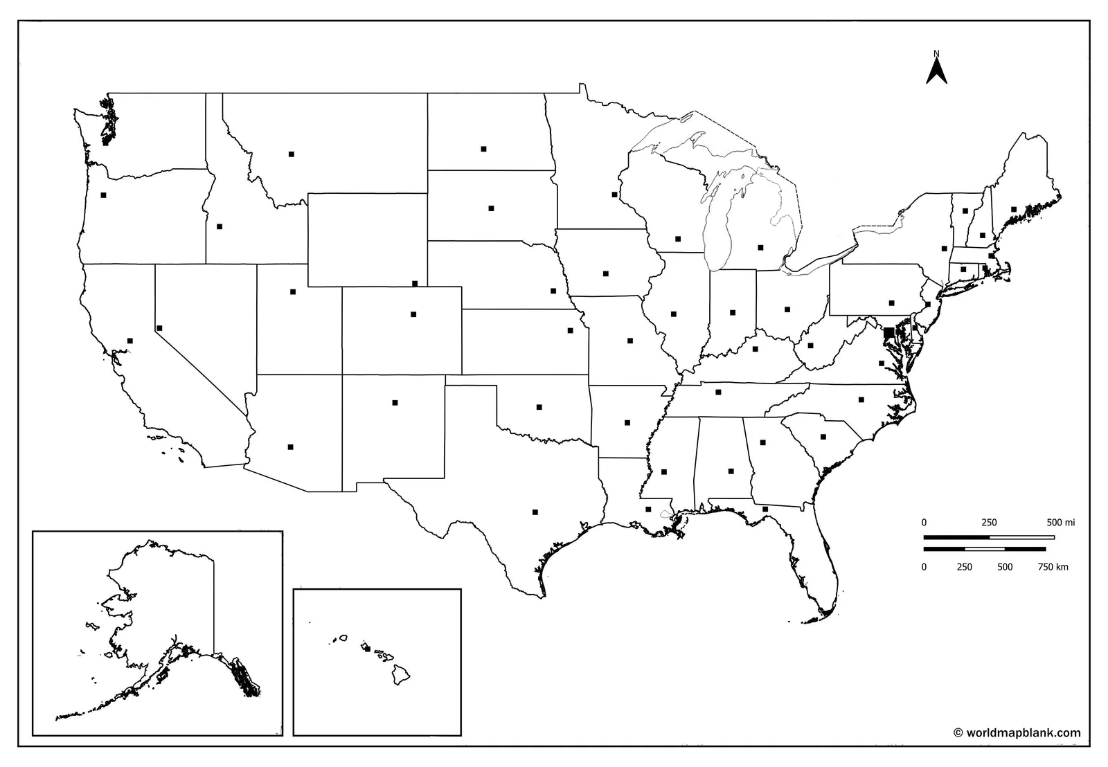
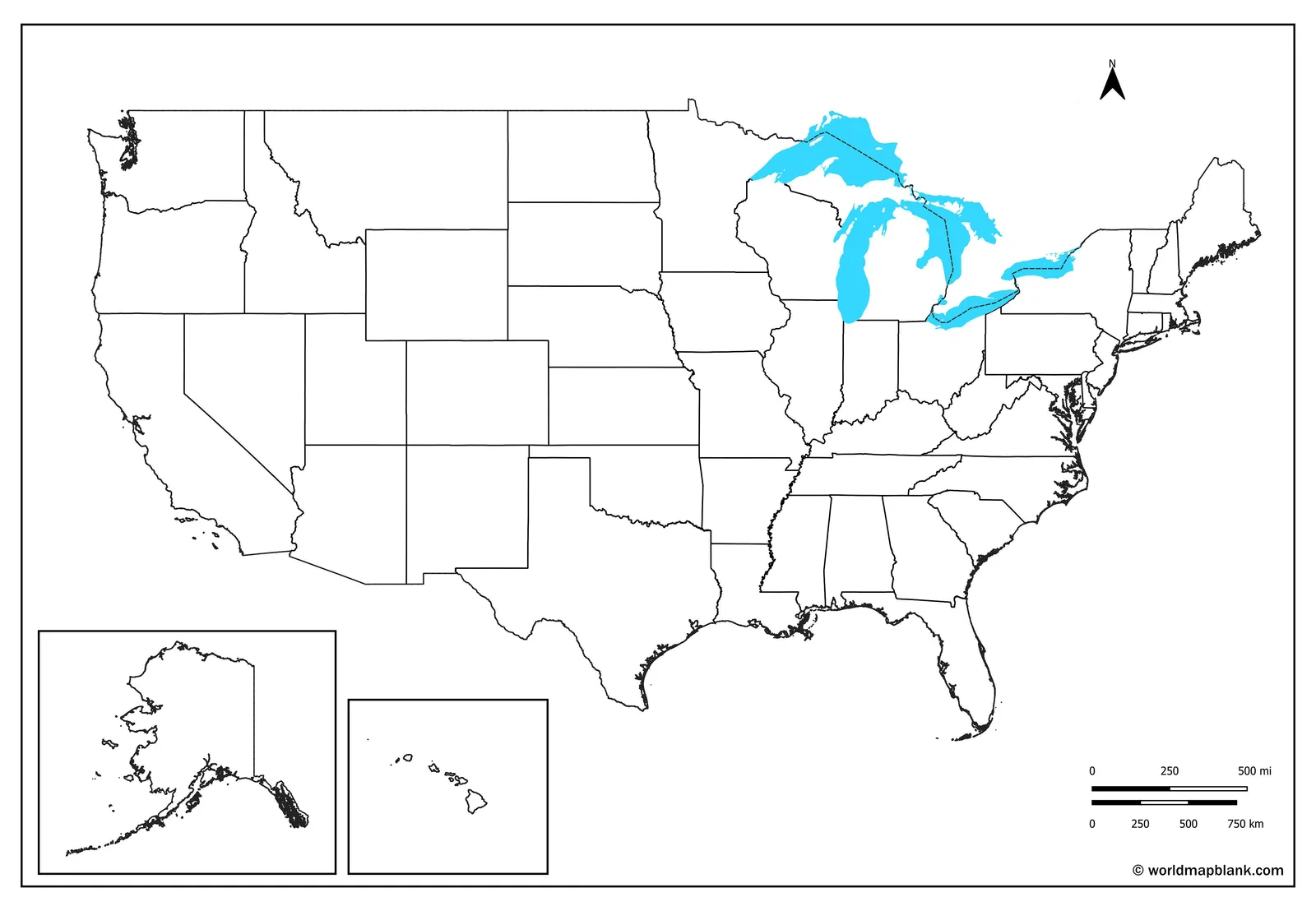
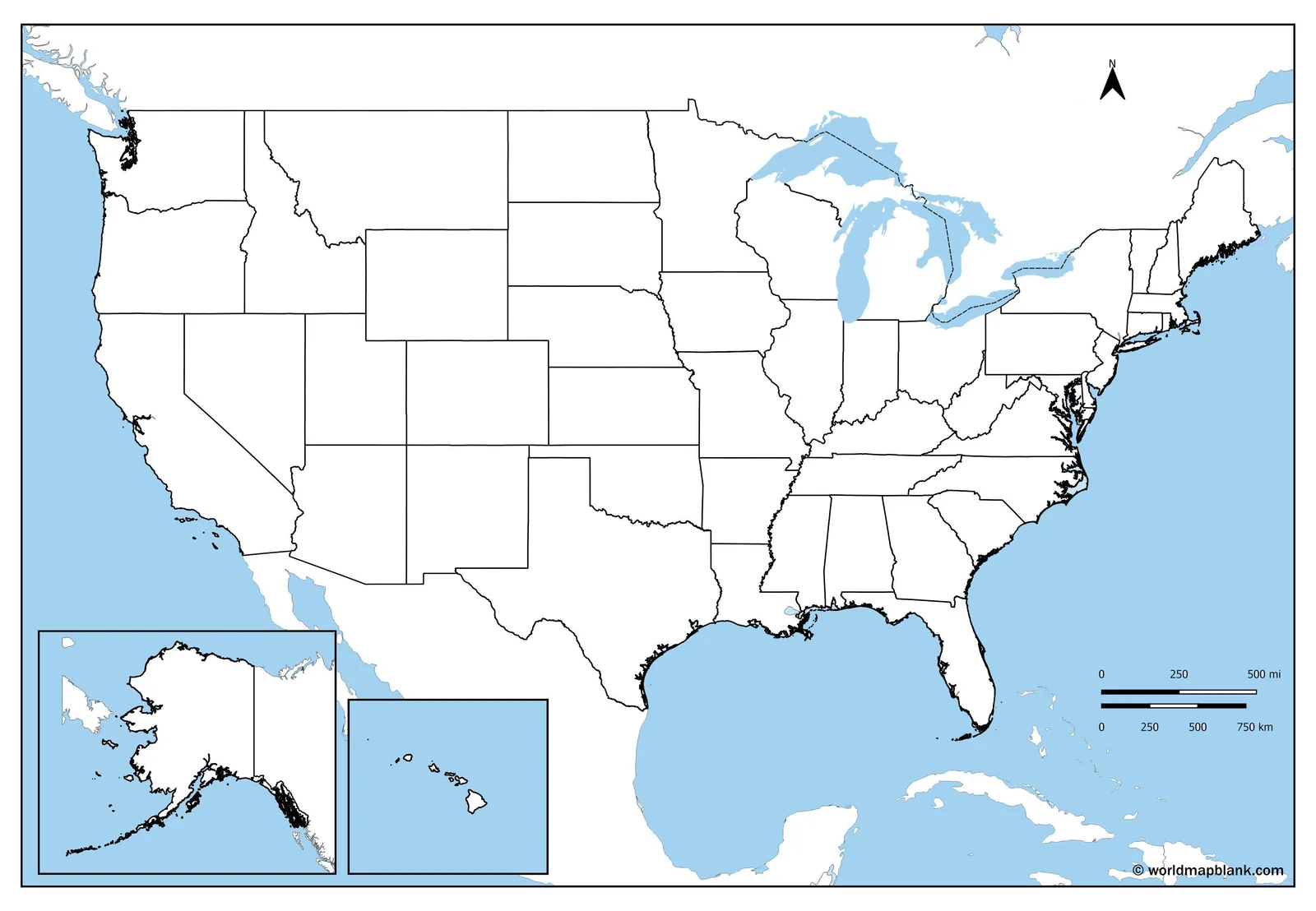
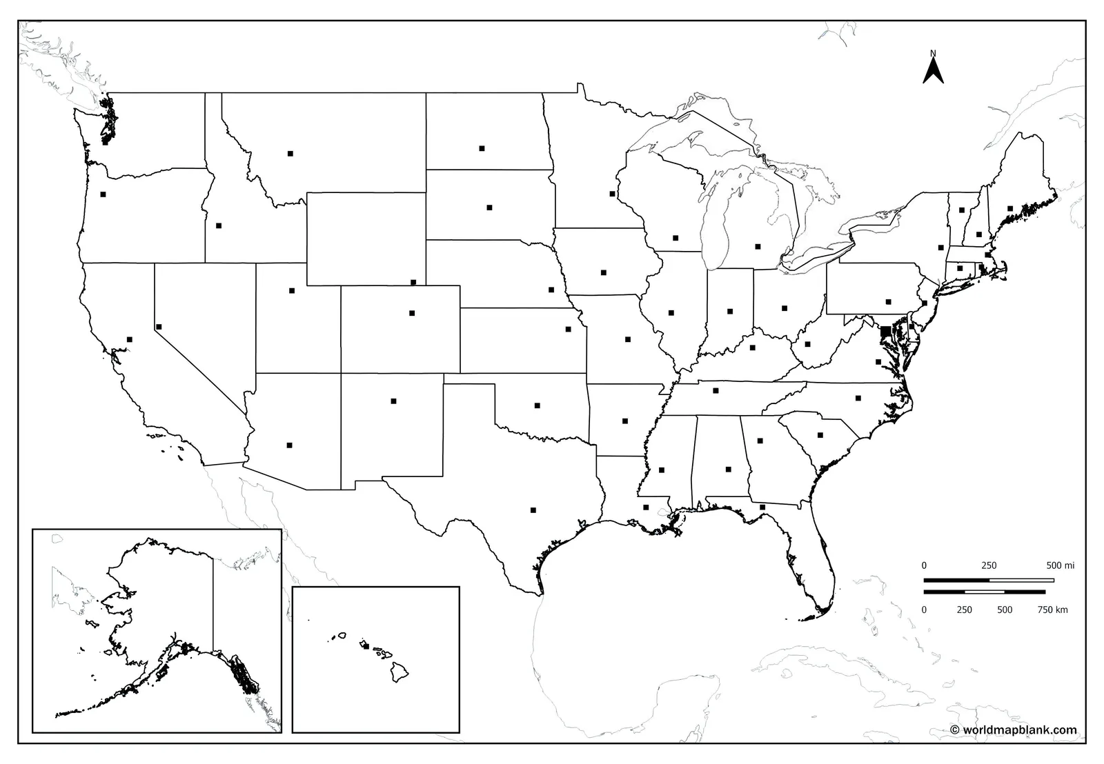
All 50 state borders with no names printed, ready for labeling practice. Prints on US Letter and A4 for worksheets, tests, quizzes, and coloring.
Why Choose BlankMapOfTheUnitedStates.com for Printable Blank US Maps
The most complete free collection of blank United States maps, built for anyone who needs one to print.
Seven Map Variants
Blank states, national outline, Great Lakes, capitals, oceans, and neighboring countries.
Four File Formats
Download any blank United States map as a PDF, JPG, PNG, or WEBP file.
All 50 States
Complete borders for all 50 states, drawn cleanly for labeling and coloring.
Print-Ready Files
The PDF prints sharp on US Letter and A4 from any printer you have.
No Signup Required
No account, no email address, and no waiting. Click once and the file downloads.
Free to Reprint
Print as many copies as you need, for as long as you need them.
How to Download Your Blank US Map
From this page to your printer in under a minute.
Pick Your Map
Choose from seven blank and outline map styles of the United States.
Choose a Format
Select PDF, JPG, PNG, or WEBP for your printable blank USA map.
Download Instantly
One click saves the blank US map straight to your device.
Print and Label
Print on Letter or A4, then label states, capitals, rivers, or routes.
Looking for blank maps of a single state?
WMB Maps publishes printable blank U.S. state maps for all 50 states, from Alabama to Wyoming.
Blank US Maps for Every Classroom and Project
The same free blank maps work for teaching, studying, and creative work.
Geography Teachers
Run USA state labeling exercises and quizzes, then grade against the answer key.
Homeschooling Families
Build states and capitals practice into lessons and reprint whenever you need.
Students and Homework
Finish labeling assignments and study all 50 USA states before the test.
Hobby and Creative Projects
Color states by region, plan road trips, or map family history.
Frequently Asked Questions
Answers to the questions people ask most about these free blank US maps.
What is a blank map of the United States?
A blank map of the United States is a printable outline map. It shows all 50 state borders and prints no state names.
How do I download a blank US map?
To download a blank US map, pick a map style, choose your file format, then click the download button.
Is the blank USA map really free to use?
Yes, the blank USA map is free to use. Download it, print it, and reuse it as often as you need.
Do I need an account to download the maps?
No, you do not need an account to download the maps. There is no email step and no registration.
How long does the download take?
The download takes seconds. Every file is small, hosted on this site, and starts saving the moment you click.
Which file formats can I download the blank maps in?
You can download the blank maps in four file formats: PDF, JPG, PNG, and WEBP, so every print and screen use is covered.
What is the difference between blank and outline maps?
The difference between blank and outline maps is the state borders. The blank map shows all 50, the outline map shows none.
Is there a blank US map with state capitals marked?
Yes, there is a blank US map with state capitals marked as dots. The names are left off for quiz practice.
Do the maps include all 50 states and DC?
The maps include all 50 states with full borders. Washington, D.C. is marked on the capitals variants but has no border.
Is there a version with the state names on it?
There is no version with the state names on this page, because every map here is blank. A labeled map of the United States is available separately.
Is there a blank map of North America too?
There is a blank map of North America available separately. One variant here also shows the United States beside Canada and Mexico.
Can I print the blank US map on Letter paper?
Yes, you can print the blank US map on Letter paper and on A4, from any printer you already have.
Can students color the blank United States map?
Yes, students can color the blank United States map. It is black and white with closed borders, so shading stays clean.
Can I draw rivers or mountains onto the map?
You can draw rivers or mountains onto the map by hand, along with cities, routes, or historical borders.
Can I add my own labels to the map?
You can add your own labels to the map by dropping the PNG into Canva, Google Slides, PowerPoint, or any image editor.
Can I download these maps on a phone?
Yes, you can download these maps on a phone, a tablet, or a desktop, and they open in any standard viewer.
Can I get a blank map of a single state?
You can get a blank map of a single state from the separate collection of blank maps for individual U.S. states.
Do you have road or highway maps of the US?
Yes, road and highway maps of the US are available separately, covering interstates such as I-5, I-10, I-70, and I-95.
What else can I use for classroom practice?
The states and capitals worksheets pair with these maps for classroom practice, giving students structured exercises alongside the blank printouts.
Can I use the maps for homework and tests?
Yes, you can use the maps for homework and tests. Print a blank copy, let students fill it in, then mark it.
Can I use the maps for commercial work?
You can use the maps for personal, classroom, and educational work. Get in touch about licensing before using them commercially.
Who makes these free blank United States maps?
These free blank United States maps are made by WMB Maps, a publisher of printable blank maps covering countries and continents.
Download Your Free Blank United States Map Now
Seven map styles, four formats, no signup. Your printable blank US map is one click away.
Get Your Free Blank US Map